Walking the White Cliffs of Dover
In a bid to use up some of the holiday that I have acrued during Lockdown, I have recently been taking the odd Friday off work to go and explore different parts of the countryside. This has, until recently, been confined to my local area over the past year, but as things are beginning to open up I have made a couple of trips to Dover to explore the footpaths at the top of the cliffs.
The history of this area is long and you can see its imprint on the land in almost every direction. Apart from the scale and beauty of the cliffs thWalking the White Cliffs of Doveremselves, there are shipwrecks to explore, tunnels, WW2 search light emplacements, WW1 sound mirrors, deep shelters, lighthouses and views of the Port of Dover. There is also great birdspotting opportunities all along the cliffs.
I start my visits at the National Trust Car Park, which is located not far from Dover Castle. I’ve marked up a map below with the various points that interested me:

This walk is not an easy one. It follows the gradient of the cliffs and, in the case of Langdon Bay, involves a steep descent down (and ascent back up!) to the beach with a long stepladder at its base. Langdon Bay is pretty inaccessible, so if something goes wrong whilst you are down there, you could have a problem. Also beware of the tide. Whilst I was down there it came in pretty quick, so don’t wonder too far from the stepladder and make sure you are always aware of the environment and what it is doing.
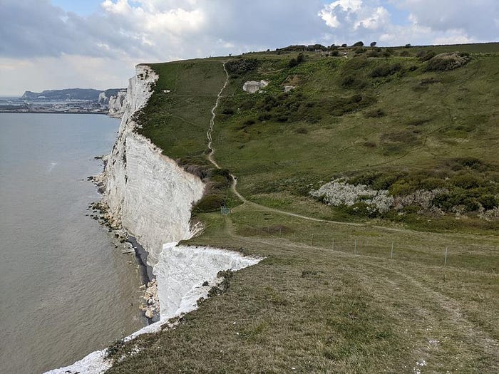
My route generally follows the Saxon Shore Way shown in green above, but hugs the cliff edge. Be careful if you intend to do this, the drop is significant and there is no protection from going over! Also chalk face cliff erosion means that some areas are liable to spalling or slip. Read the signs on the footpath and basically don’t go too close.
I start at the National Trust car park just above the Port of Dover. When I visited was just after Brexit and I was amazed at the amount of vehicles going and coming from the Port. There was a constant stream of ferries coming and going. They must be like a tardis inside, because the stream of vehicles rolling of them seemed endless.
I walk East from the car park, with my plan being to follow the cliff and enjoy the views. After a while, I come upon a concealed landing surrounded by handrails and investigate. There are signs up advising of rockfalls and a tunnel, which gets my interest, so I decide to investigate. The path from here leads to a zig-zag path down the cliff face that are steep and a little uneven, which leads to a short tunnel and steps down to the beach. From the landing I can see the wreck of the SS Falcon.

I looked this up and it appears that the SS Falcon caught on fire in 1926 whilst transporting hemp and matches (!), which seems a recipe for disaster in hindsight. There is footage of the ship on fire here shortly before it is beached at Langdon Bay on YouTube.
Langdon Bay also has Searchlight Batteries that were constructed during WW2. They have been blocked off by steel gates, but you can still see into them. Some industrious explorers have managed to circumvent the gates and fences, but this wasn’t something I was willing to do, so I left it well alone.
You can get down to the beach from a stepladder, which is pretty long and steep.
Whilst I did not go into the searchlight batteries, I did climb into a little cave, which was small and did not go anywhere. I suspect it was an abandoned excavation when the searchlight batteries were constructed.

Having explored Langdon bay (and with the tide coming in), I climb back up the cliff and continue walking East, where I arrive at Fan Bay. This is where the Fan Bay sound mirrors and deep shelter are located. I walk right past them on my first visit and only notice them on my way back, from where they are actually visible.
The mirrors were used to concentrate sound from the channel on a focal point just in front of them. This was useful for detecting aircraft movements over the channel. I am not sure how succesful they were, but there is a better description on the national trust website.
The entrance to deep shelters inside the cliff is also located here, although they are currently shut. The sound mirrors and deep shelters are run by the National Trust and you can find more information here.

Shortly after leaving this area, a plane flew over and did a barrel roll. It was so unexpected that I did not realise that it was a Spitfire until it had passed by.
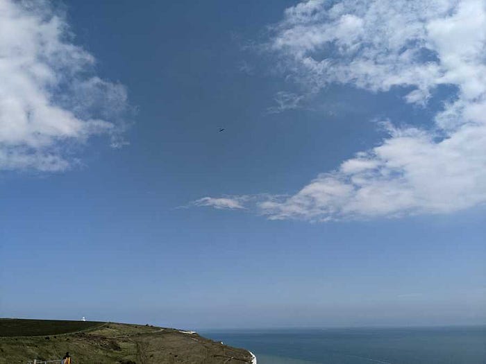
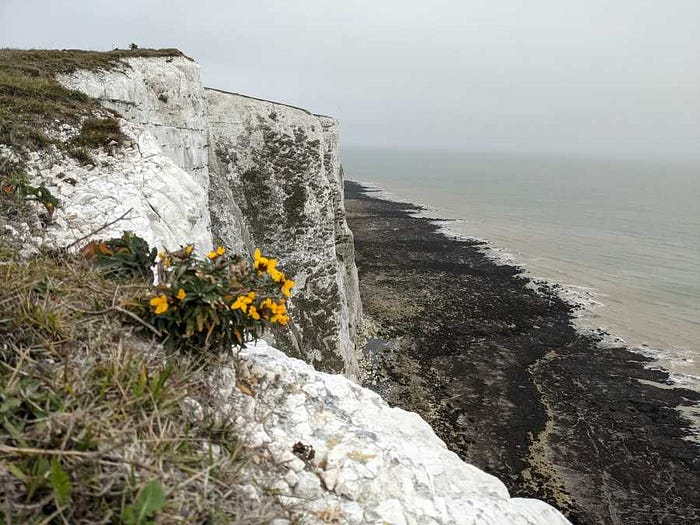
There is all kinds of wildlife and flowers up on the cliffs. I was constantly amazed by the hardiness of flowers clinging to the edge and constantly ruffled by the weather. Elsewhere there are Skylarks, falcons (I could not identify which one, but the NT website suggests Perigrines are here), Jackdaws, gulls and much more.
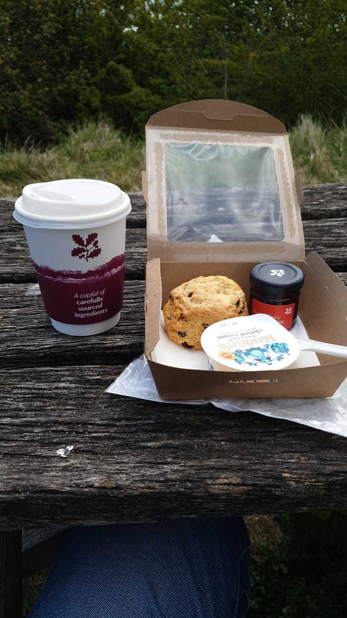
Next stop on the route before turning back is the South Foreland Lighthouse. There is a cafe and shop here, which had only recently re-opened when I visited. I enjoyed a sausage roll and a cup of tea here.
After this, the weather was beginning to close in, so I made my way back West to the National Trust Visitors Centre, which is located by the car park at the start of my visit. There are great facilities here, with a cafe, well looked after toilets, bootwashes etc available. I bought myself a cream tea and enjoyed the view before making my home!